 Kontakt
 Jak nakupovat
Doručení
Nákupní rádce
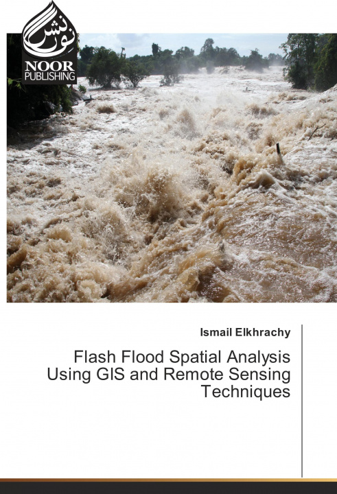
Flash Flood Spatial Analysis Using GIS and Remote Sensing Techniques
 Angličtina
 73 b
73 b
30 dní na vrácení zboží
Zákazníci také koupili

 /
/
 Brožovaná
 248
Kč
248
Kč


 /
Brožovaná
1 025
Kč
/
Brožovaná
1 025
Kč


 /
Brožovaná
391
Kč
/
Brožovaná
391
Kč


 /
Brožovaná
794
Kč
/
Brožovaná
794
Kč

 /
Brožovaná
471
Kč
/
Brožovaná
471
Kč


 /
Brožovaná
838
Kč
/
Brožovaná
838
Kč
The "Flash Flood Spatial Analysis Using GIS and Remote Sensing Techniques" is a readable text that presents basic concepts and practical material in each of the areas remote sensing and Geographic information system. It is written primarily for students and researchers who are interested in studying flash flood using satellite images. The book contains a case study in Najran city, KSA. Although the book has descriptions of some software such as ArcGIS and Hec-Ras which are used to get water surface during any flash flood event. Moreover, it contains how to use SAR images to calibrate obtained results from Hydrology investigations.


Informace o knize
Angličtina

Darujte tuto knihu ještě dnes
Je to snadné
1 Přidejte knihu do košíku a zvolte doručit jako dárek 2 Obratem vám zašleme poukaz 3 Kniha dorazí na adresu obdarovanéhoMohlo by vás také zajímat
 /
Brožovaná
362
Kč
/
Brožovaná
362
Kč


 /
Brožovaná
368
Kč
/
Brožovaná
368
Kč


 /
Pevná
7 732
Kč
/
Pevná
7 732
Kč
 /
Brožovaná
1 088
Kč
/
Brožovaná
1 088
Kč


 /
Brožovaná
404
Kč
/
Brožovaná
404
Kč
 /
Brožovaná
1 884
Kč
/
Brožovaná
1 884
Kč
Ahoj! Jsem Libroamiko, tvůj knižní rádce.
Jak ti můžu pomoct?