 Kontakt
 Jak nakupovat
Doručení
Nákupní rádce
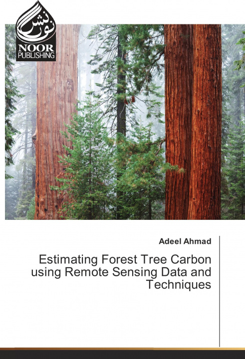
Estimating Forest Tree Carbon using Remote Sensing Data and Techniques
 Angličtina
 59 b
59 b
Až 30 dní na vrácení zboží
Zákazníci také koupili


 /
/
 Brožovaná
 606
Kč
606
Kč


Alarming rates of carbon increase in the atmosphere threatens our planet for sustainability. For avoiding carbon release and sequester the carbon emissions from the forests and other sources, nations of the world are striving hard to design methodologies for monitoring carbon emission and sequester rates in the forests and other carbon pools. This book presents a research based on a very modern approach to estimate carbon in the moist temperate Himalayan forest of Ayubia National Park (ANP), Pakistan. Latest Geospatial techniques including Remote Sensing and Geographical Information System (GIS) were incorporated to estimate carbon in the forest of ANP using the up-to-date statistical approaches. Objectives of this research included landcover mapping of the study area and estimating and mapping the carbon in the forest as well as biomass for the same area using high spatial resolution satellite images i.e.SPOT-5 and medium resolution Landsat-5 Thematic Mapper (TM) with inclusion of topographic factors to estimate the carbon stock.


Informace o knize
Angličtina

Darujte tuto knihu ještě dnes
Je to snadné
1 Přidejte knihu do košíku a zvolte doručit jako dárek 2 Obratem vám zašleme poukaz 3 Kniha dorazí na adresu obdarovanéhoMohlo by vás také zajímat
 /
Brožovaná
336
Kč
/
Brožovaná
336
Kč


 /
Pevná
780
Kč
/
Pevná
780
Kč

 /
Brožovaná
732
Kč
/
Brožovaná
732
Kč
 /
Brožovaná
243
Kč
/
Brožovaná
243
Kč


 /
Brožovaná
1 076
Kč
/
Brožovaná
1 076
Kč


Ahoj! Jsem Libroamiko, tvůj knižní rádce.
Jak ti můžu pomoct?