Doručení
Nákupní rádce


Nehodí se? Vůbec nevadí! U nás můžete do 30 dní vrátit
 Dárkový poukaz
V libovolné hodnotě
S dárkovým poukazem nešlápnete vedle. Obdarovaný si za dárkový poukaz může vybrat cokoliv z naší nabídky.
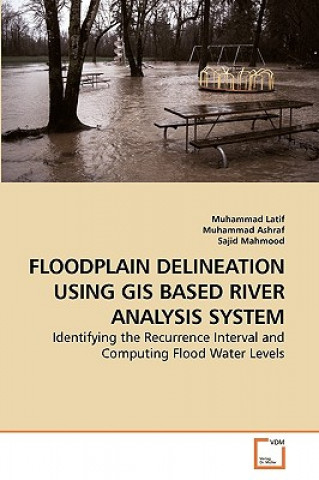
Floodplain Delineation Using GIS Based River Analysis System
 Angličtina
 151 b
151 b
30 dní na vrácení zboží
Mohlo by vás také zajímat


Floodplain is an area adjacent to the main river channel and is very fertile to agriculture; therefore, these areas have been widely developed for agriculture and settlement purposes. As a result, floods have caused enormous damages to life, property and agriculture many times in the past. The river Indus doesn t flow in a single main channel. At some places it is divided into two channels and water flows even in the low flow season. Consequently, the areas in between these channels have also been developed for agriculture. In the present study, frequency analysis results show the recurrence interval of up to 500 years return period by using the Normal, Log-Pearson Type III and the Extreme Gumble s Distributions and hydraulic model results from the geometric data extracted from the Digital Elevation Model (DEM) of 90 and 30 meter resolution are presented in this technical book chapter wise.The authors appreciate the efforts of Barthlemy Chaton and his team in facilitating during book finalization and highly acknowledge publishing of this book by VDM Publishing House Ltd., for technical knowledge sharing internationally.
Informace o knize
 Angličtina


 Jak nakupovat


