
 Kontakt
 Jak nakupovat
Doručení
Nákupní rádce
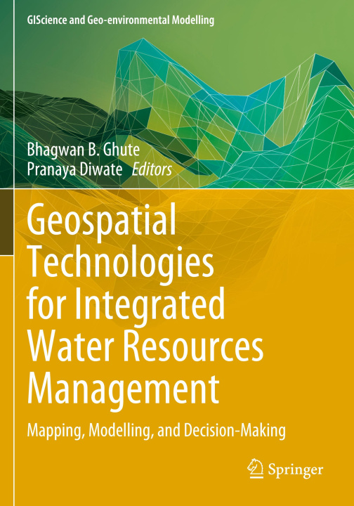
Geospatial Technologies for Integrated Water Resources Management
 Angličtina
 400 b
400 b
Až 30 dní na vrácení zboží

This book examines water resources, helps understand complexities in water management, and explains the use of geospatial technology. By 2050, the world will have nearly about 9.8 billion population and which is almost 2.5 to 3 billion added to the present population. Only 3% of world water resources are available for human consumption. Even some resources are polluted because of poor management. Water management is important since it helps determine future irrigation prospects. Management of water resources under set policies and regulations. Water is a more valuable commodity and the world is facing acute water shortages because of drought which is attributed to climate change and overuse. Many rivers are drying up, polluted and encroached.
Now the challenge is whether future generations will have enough fresh water for living. Geospatial Technology i.e. Remote Sensing (RS) and GIS have gained considerable interest among earth and hydrological science communities for solving and understanding various complex issues and approaches towards water resources development and management. Water can provide sustainability to any region. Sustainability means that meet the needs of the present, without compromising the ability of future generations to meet their own needs. These are generally integrated to study a variety of natural resources and their characteristics. Major advancements have been accomplished in integrating remote sensing and GIS and they complement each other. RS is used for acquiring information for GIS. Remote sensing and GIS integration provide information on the spatial variation, extent, and potential and limitations of natural resources, which is essential for planning the strategy for sustainable development. Most hydrological or geomorphological models are developed in a GIS framework and these are helpful for the planning and management of water and decision-makers for sustainable development.


Informace o knize
Angličtina

Darujte tuto knihu ještě dnes
Je to snadné
1 Přidejte knihu do košíku a zvolte doručit jako dárek 2 Obratem vám zašleme poukaz 3 Kniha dorazí na adresu obdarovanéhoAhoj! Jsem Libroamiko, tvůj knižní rádce.
Jak ti můžu pomoct?