Doprava zdarma při nákupu nad 1 499 Kč přes Zásilkovnu nebo PPL Box.
Staňte se součástí komunity milovníků knih z celého světa a získejte hromadu výhod.
Založit účet zdarma
Doprava zdarma se Zásilkovnou nad 1 499 Kč
Kurýr DPD 69 Kč
PPL shop 49 Kč
Balíkovna 69 Kč
PPL kurýr 74 Kč
PPL box 39 Kč
Balíkovna 49 Kč
Výdejní místo DPD 49 Kč
Zásilkovna 39 Kč
 Kontakt
 Jak nakupovat
Pomoc
Doručení
Kurýr DPD 69 Kč
PPL shop 49 Kč
Balíkovna 69 Kč
PPL kurýr 74 Kč
PPL box 39 Kč
Balíkovna 49 Kč
Výdejní místo DPD 49 Kč
Zásilkovna 39 Kč
Doprava zdarma se Zásilkovnou nad 1 499 Kč
Nákupní rádce
Jsme tu pro vás!
571 999 090
Můj účet
▸
Prázdný :-(
0
Doprava zdarma při nákupu nad 1 499 Kč přes Zásilkovnu nebo PPL Box.
MACHINE LEARNING ALGORITHMS
Jazyk
 Angličtina
Angličtina
Kniha
Brožovaná
Remote sensing is immensely useful for gathering data from Earth-surface objects without coming into...
Celý popis
Libristo kód: 44591956
?
 140 b
140 b
140 b
1 398
Kč
Skladem u dodavatele
Odesíláme za 8-11 dnů
30 dní na vrácení zboží
Zákazníci také koupili


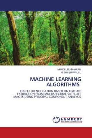
Remote sensing is immensely useful for gathering data from Earth-surface objects without coming into direct contact with them. Multi-spectral satellite images are essential for data analysis in the fields of agriculture, regional planning, geology, meteorology, forestry, landscape, biodiversity conservation. Enhancement is the best method for extracting more information from a large dataset. The information increases the number of pixels that can effectively represent the image's information and display its spectral features. These values are maintaining the trade-off balance between spatial and spectral values with dimensional reduction technique and Machine Learning algorithms.
Herečka
&
Polyglotka
EWA KASP
pro
Přehrát video


Libristo má největší výběr cizojazyčné literatury. Proto své knihy kupuji tady.
Informace o knize
Plný název
MACHINE LEARNING ALGORITHMS
Autor
G. Sreenivasulu
Jazyk
Angličtina
Angličtina
Vazba
Kniha - Brožovaná
Datum vydání
2023
Počet stran
156
EAN
9786206142188
ISBN
6206142183
Libristo kód
44591956
Nakladatelství
LAP LAMBERT Academic Publishing
Váha
250
Rozměry
150 x 220 x 10
Kategorie