
 Kontakt
 Jak nakupovat
Doručení
Nákupní rádce
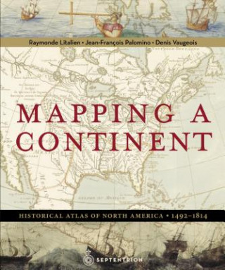
Mapping a Continent
Historical Atlas of North America, 1492-1814
 Angličtina
 250 b
250 b
Až 30 dní na vrácení zboží
Zákazníci také koupili
















In March 1493, Christopher Columbus returned from a long voyage to the west, convinced he had reached India. In truth, an immense continent, then absent from any map, had blocked his path. A formidable barrier separating Europe from Asia, North America became a coveted land, attracting sailors, missionaries, trappers, soldiers and scientists. Seeking not only the Vermilion Sea but also fish, beavers, and precious metals, they crossed rivers and trekked through portages, forests, and mountains. With the help of "Indians" they unlocked the secrets of this terra incognita. Art, scientific papers, and maps provide essential witness to this quest for knowledge that allowed Columbus, Auchagac, Champlain, Franquelin, Thomspon, Mackenzie, and Lewis and Clark to take the measure of America. For three centuries, motivated by the goal of finding a nautical route to the Pacific Ocean and from there the Orient, European explorers surveyed and mapped the large territory, exploring every body of water, from the tiniest bays to the greatest rivers, and pushing deeper into the interior. Three hundred years almost to the day after Columbus' first voyage, Alexander Mackenzie reached the Pacific Ocean "from Canada, by land, 22 July 1793." In 1805, spurred on by Jefferson, the Lewis and Clark expedition crossed the continent from the Missouri-Mississippi delta to where the Columbia River flows into the Pacific Ocean. The continent's measure had been taken.


Informace o knize
Angličtina

Darujte tuto knihu ještě dnes
Je to snadné
1 Přidejte knihu do košíku a zvolte doručit jako dárek 2 Obratem vám zašleme poukaz 3 Kniha dorazí na adresu obdarovanéhoMohlo by vás také zajímat


 /
/
 Adobe ePub DRM
 80
Kč
80
Kč




 /
/
 Brožovaná
368
Kč
Brožovaná
368
Kč

Ahoj! Jsem Libroamiko, tvůj knižní rádce.
Jak ti můžu pomoct?