

 Jak nakupovat
Doručení
Nákupní rádce
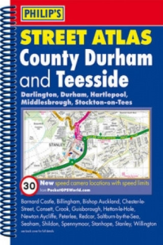
Philip's Street Atlas County Durham and Teesside
 Angličtina
 40 b
40 b
30 dní na vrácení zboží
Mohlo by vás také zajímat


 /
Brožovaná
/
Brožovaná
 1 879
Kč
1 879
Kč


 /
Brožovaná
2 213
Kč
/
Brožovaná
2 213
Kč
Philip's Street Atlas County Durham and Teesside gives comprehensive and detailed coverage of the area. The route planner shows all the A and B roads, and can be used when driving to get close to the destination before turning to the relevant large-scale street map.The street maps show every named road, street and lane very clearly, with major roads picked out in colour. The maps are at a scale of 1.75 inches to 1 mile, with larger scale maps at a scale of 3.5 inches to 1 mile. Durham, Stockton-on-Tees and Middlesbrough city centres are shown at 7 inches to 1 mile.Other information on the maps includes postcode boundaries, car parks, railway and bus stations, post offices, schools, colleges, hospitals, police and fire stations, places of worship, leisure centres, footpaths and bridleways, camping and caravan sites, golf courses, and many other places of interest. Also included in this edition are fixed single and multiple speed-camera locations, with corresponding speed limits.The comprehensive index lists street names and postcodes, plus schools, hospitals, railway stations, shopping centres and other such features picked out in red, with other places of interest shown in blue.
Informace o knize
Angličtina
