Doprava zdarma při nákupu nad 1 499 Kč přes Zásilkovnu nebo PPL Box.

Staňte se součástí komunity milovníků knih z celého světa a získejte hromadu výhod.
Založit účet zdarma
Doprava zdarma se Zásilkovnou nad 1 499 Kč
Kurýr DPD 69 Kč
Balíkovna 69 Kč
PPL kurýr 74 Kč
PPL box 39 Kč
Zásilkovna 39 Kč
Výdejní místo DPD 49 Kč
PPL shop 49 Kč
Balíkovna 49 Kč
 Kontakt
 Jak nakupovat

Pomoc
Doručení
Kurýr DPD 69 Kč
Balíkovna 69 Kč
PPL kurýr 74 Kč
PPL box 39 Kč
Zásilkovna 39 Kč
Výdejní místo DPD 49 Kč
PPL shop 49 Kč
Balíkovna 49 Kč
Doprava zdarma se Zásilkovnou nad 1 499 Kč
Nákupní rádce
Jsme tu pro vás!
571 999 090
Můj účet
▸
Prázdný
0
Doprava zdarma při nákupu nad 1 499 Kč přes Zásilkovnu nebo PPL Box.
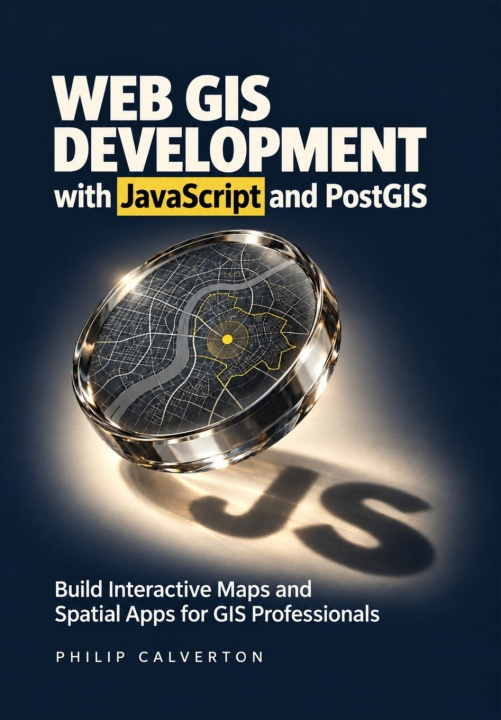
Web GIS Development with JavaScript and PostGIS
Build Interactive Maps and Spatial Apps for GIS Professionals
Jazyk
 Angličtina
Kniha
Brožovaná
Build web maps that people can search, edit, and use to answer real location questions.You know the...
Celý popis
Libristo kód: 54215873
?
 71 b
 Nové
71 b
Nové
711
Kč
Skladem u dodavatele
Odesíláme za 9-13 dnů
Až 30 dní na vrácení zboží

Build web maps that people can search, edit, and use to answer real location questions.
You know the value of GIS data. Now learn how to turn it into an interactive application that helps people find facilities, compare locations, and understand the results.
Web GIS Development with JavaScript and PostGIS takes you from your first Leaflet map to a connected facility finder and site-screening project. You'll build the browser interface, connect it to a spatial database through a Node.js and Express API, and learn how to check that the application is answering the right question.
As you build, you'll learn to:
- Make geographic data easier to use. Add search, filters, popups, and coordinated results so users can find relevant information quickly.
- Check your spatial answers. Use spatial SQL in PostGIS to measure distances, identify nearby facilities, and avoid mistakes with coordinates, units, and geometry.
- Explain site rankings. Apply coverage zones, exclusions, and transparent scoring so users can see why a candidate qualifies-and how changing priorities affects the shortlist.
- Protect data during editing. Validate inputs, control access, and handle conflicting changes without silently overwriting another person's work.
- Keep growing maps responsive. Use spatial indexes, query plans, clustering, and request cancellation to reduce unnecessary work.
- Prepare for a dependable handover. Learn practical testing, Docker deployment, HTTPS configuration, backup, and recovery workflows.
Written for GIS professionals, analysts, students, and developers moving into web mapping, this guide assumes basic computer skills and introduces the JavaScript needed for the project.
Get your copy and start turning your GIS knowledge into a working web application.
Herečka
&
Polyglotka
EWA KASP
pro
Přehrát video


Libristo má největší výběr cizojazyčné literatury. Proto své knihy kupuji tady.
Informace o knize
Plný název
Web GIS Development with JavaScript and PostGIS
Autor
Philip Calverton
Jazyk
Angličtina
Angličtina
Vazba
Kniha - Brožovaná
Datum vydání
2026
Počet stran
272
EAN
9798162927921
Libristo kód
54215873
Nakladatelství
Independently published
Váha
440
Rozměry
170 x 244 x 15

Darujte tuto knihu ještě dnes
Je to snadné
1 Přidejte knihu do košíku a zvolte doručit jako dárek 2 Obratem vám zašleme poukaz 3 Kniha dorazí na adresu obdarovaného
Knižní rádce Libroamiko
Užíváním tohoto chatu komunikujete s generativní umělou inteligencí. Jeho užíváním také souhlasíte se zpracováním osobních údajů.
Ahoj! Jsem Libroamiko, tvůj knižní rádce.
Jak ti můžu pomoct?
Ahoj, jsem Libroamiko, můžu pomoct?